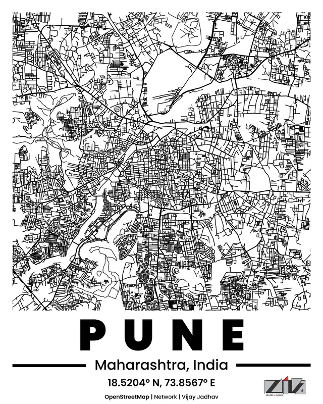
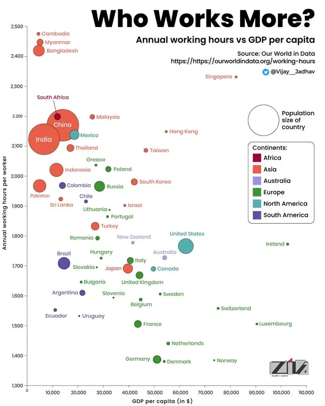
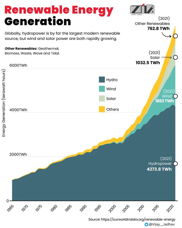
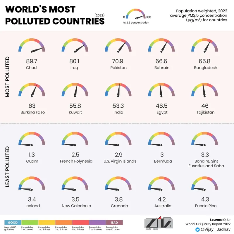
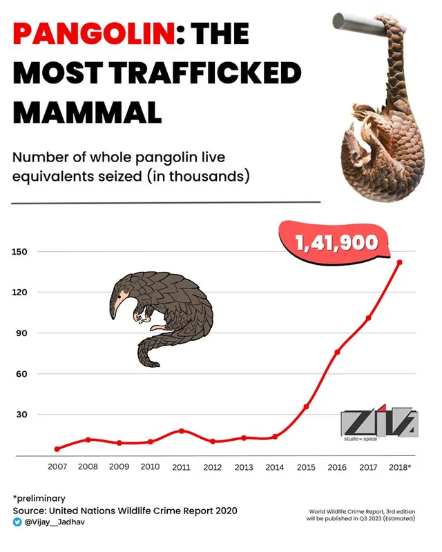
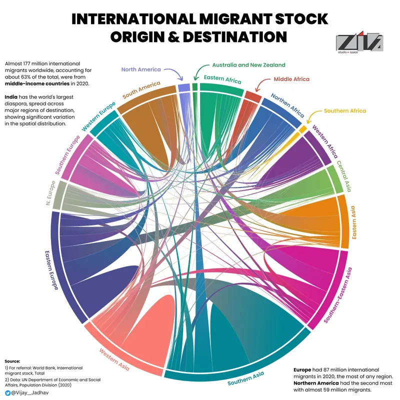
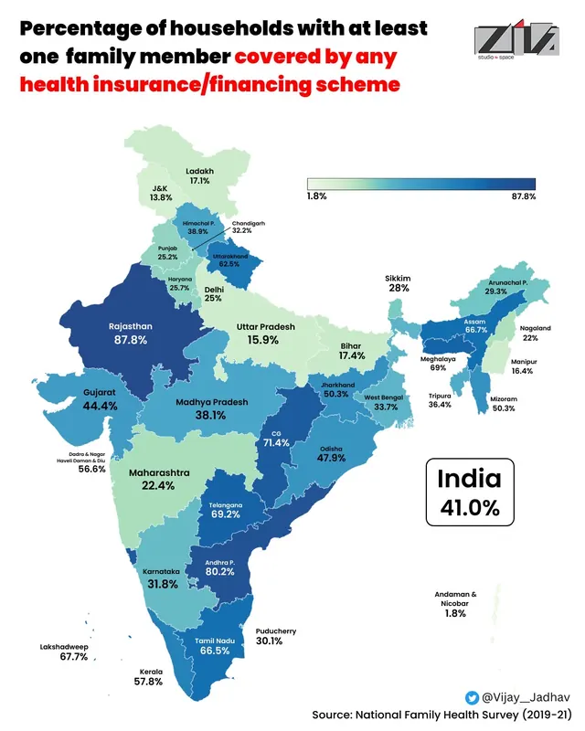
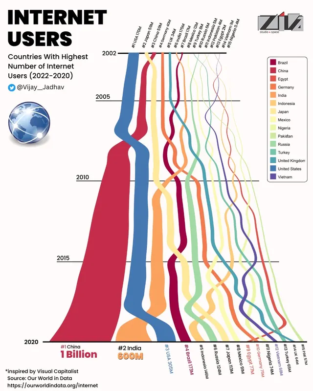
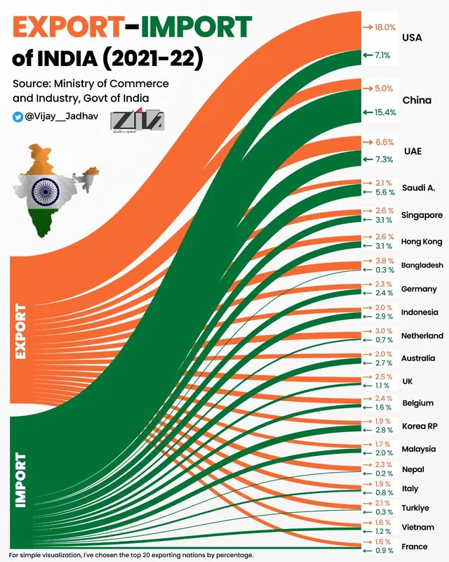
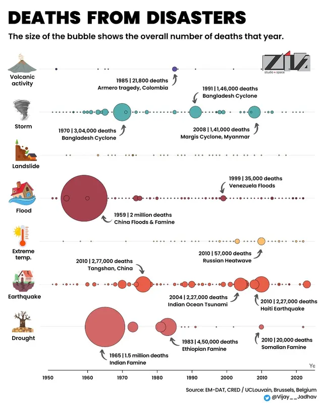
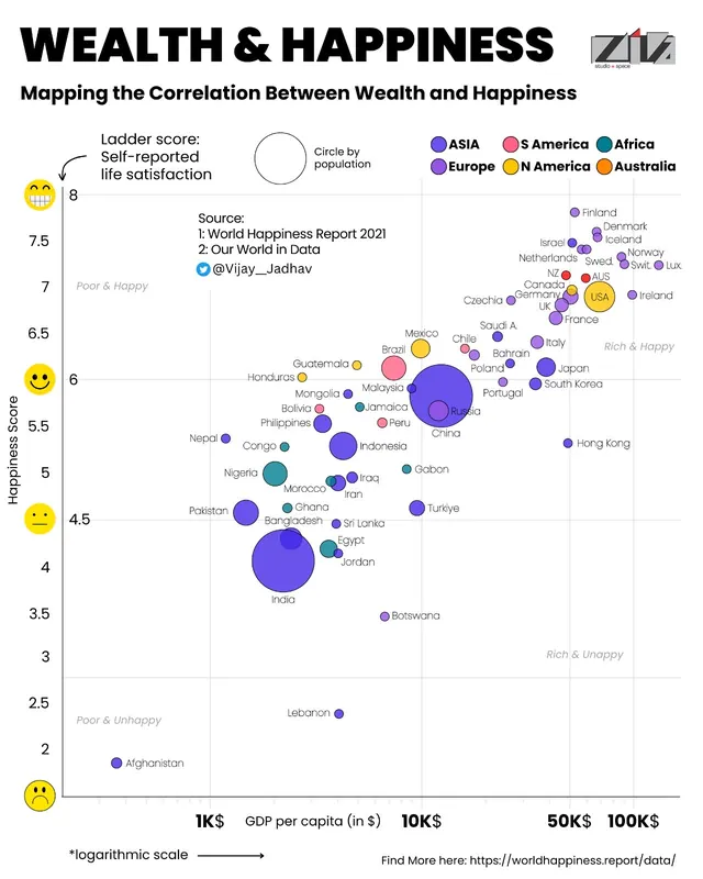
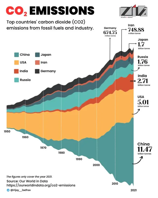
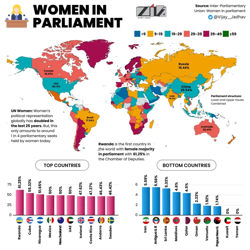
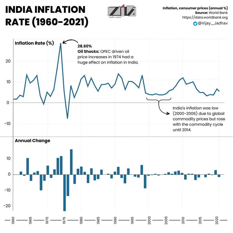
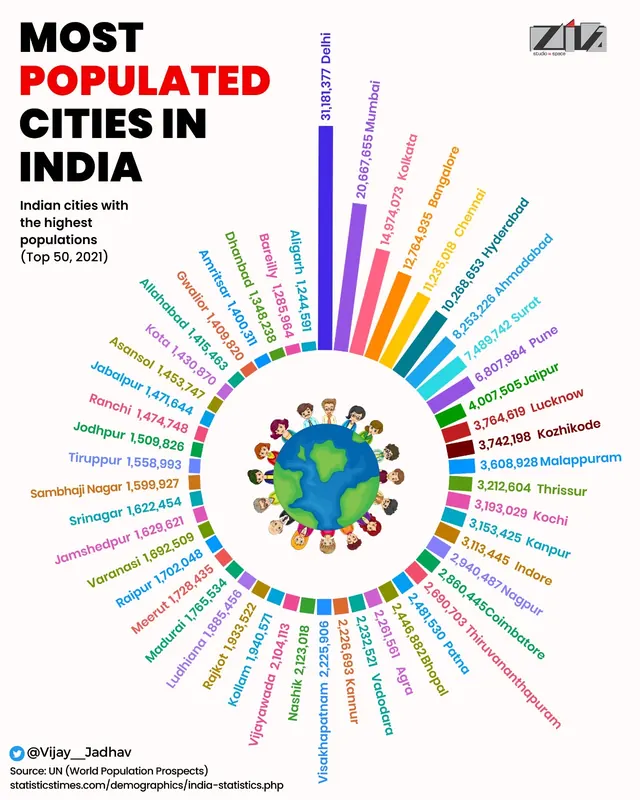
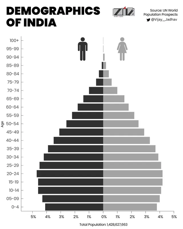
Pune, street-network posterWho works more?India's livestock populationRenewable energy generationIndia's foreign tradeWorld's most polluted countriesPangolin: the most trafficked mammalInternational migrant stockHouseholds with health insuranceInternet usersExport-import of India, 2021-22Deaths from disastersWealth and happinessCO2 emissionsWomen in parliamentIndia inflation rate, 1960-2021Most populated cities in IndiaDemographics of India
Maps
QGIS, Python, Flourish and Datawrapper
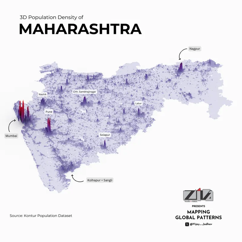
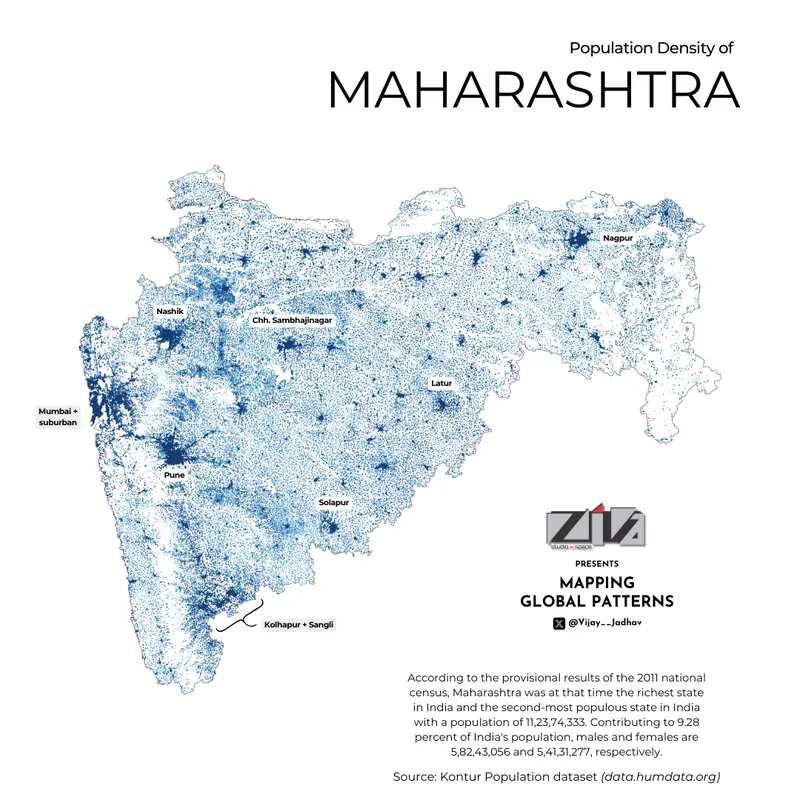
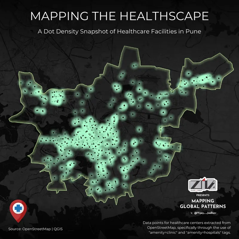
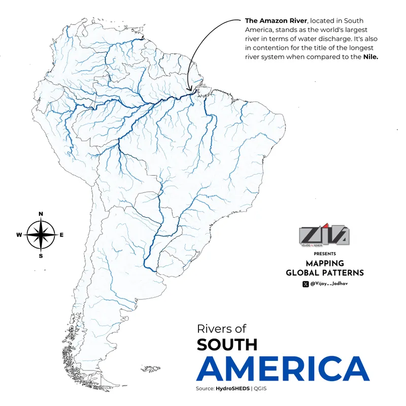
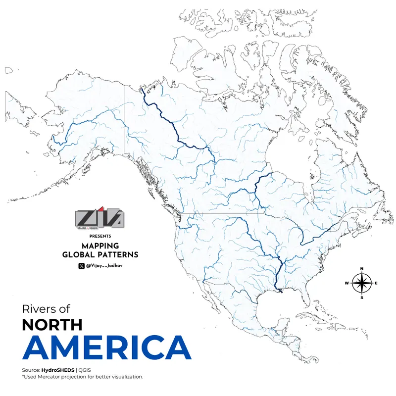
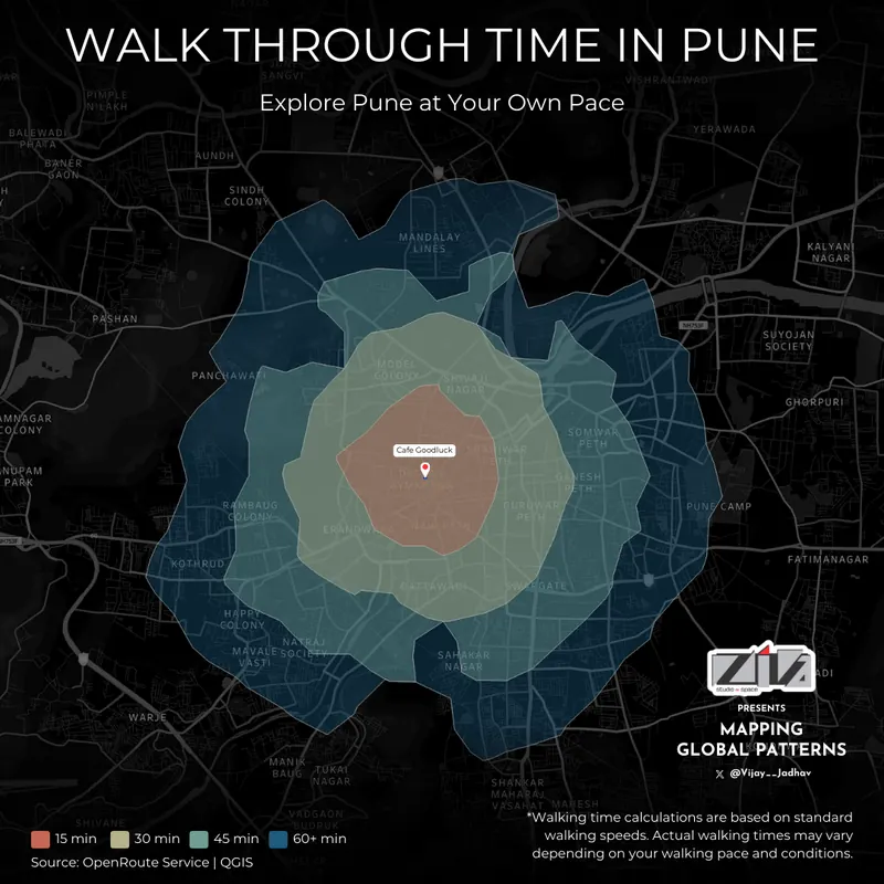
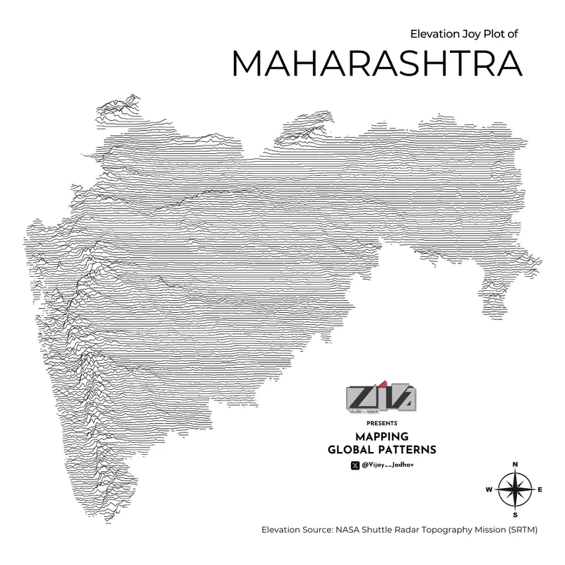
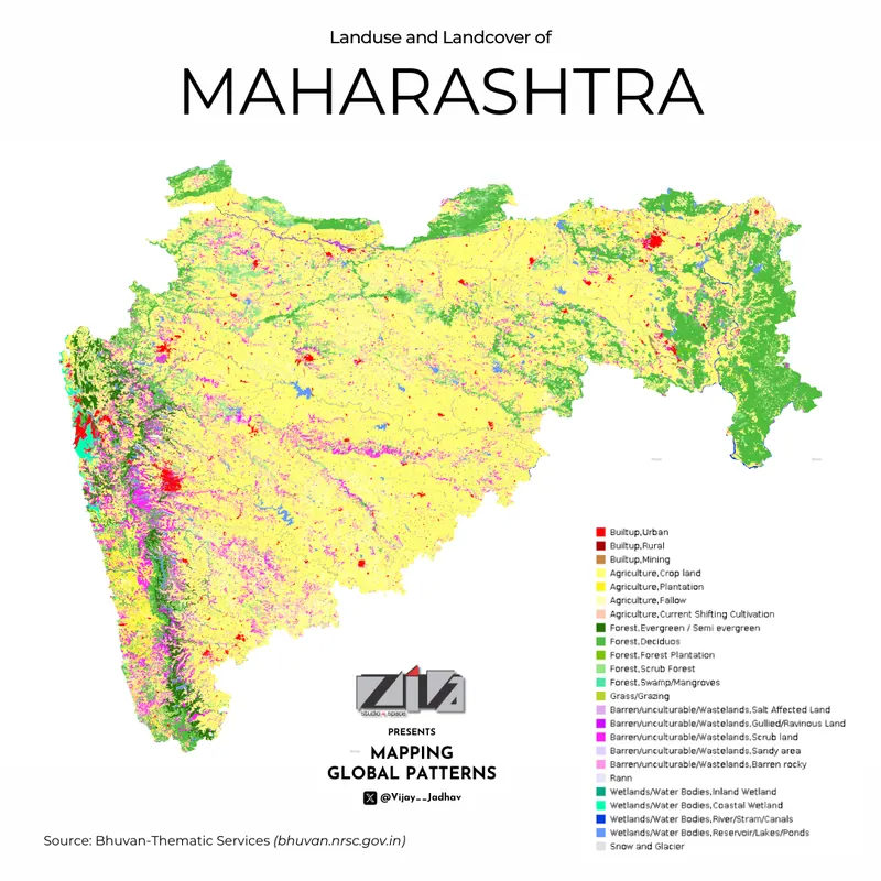
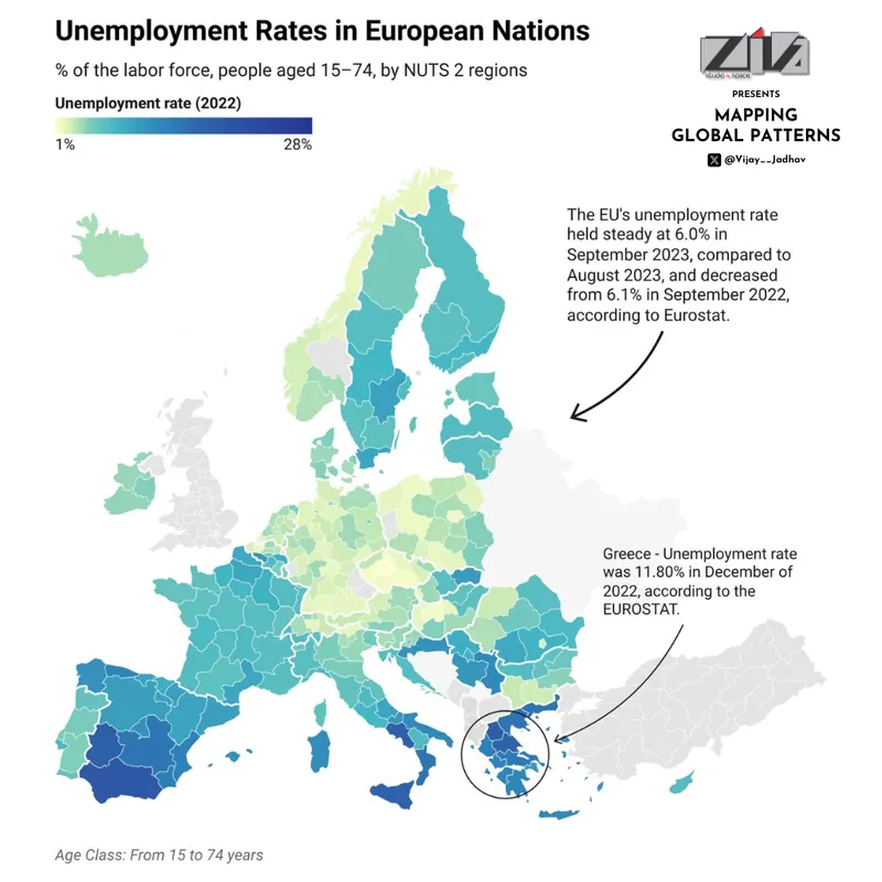
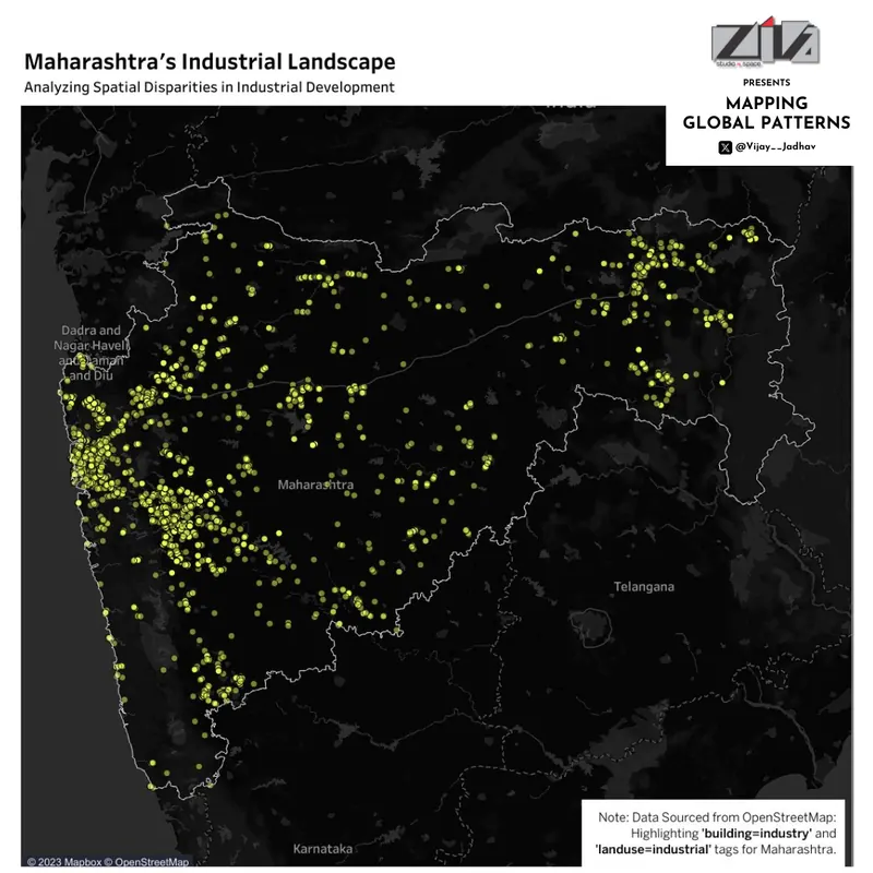
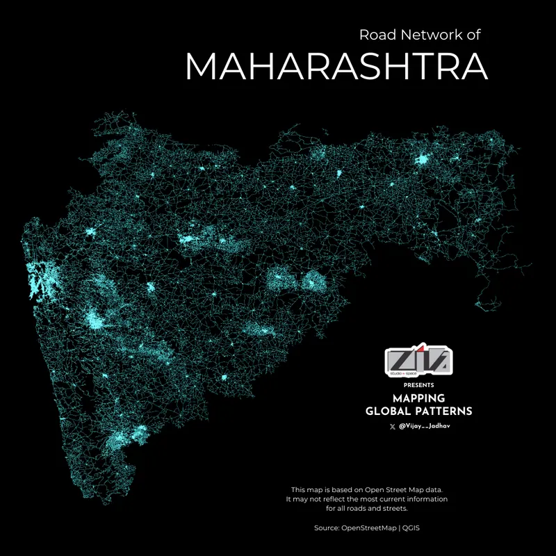
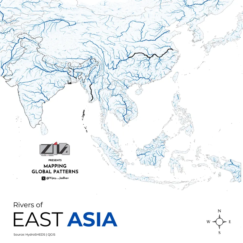
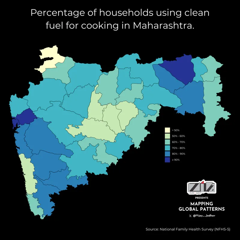
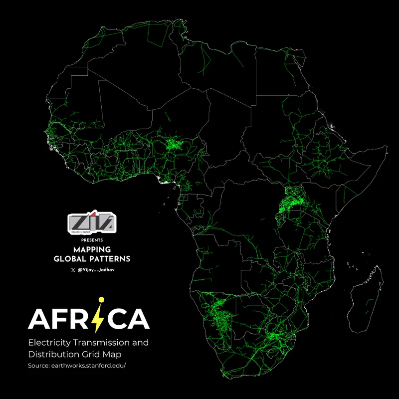
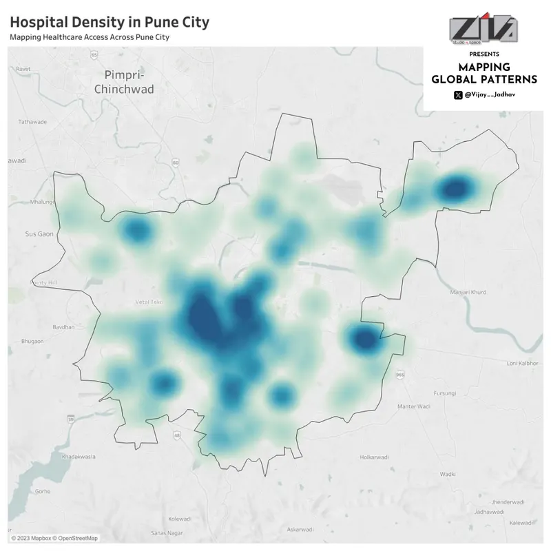
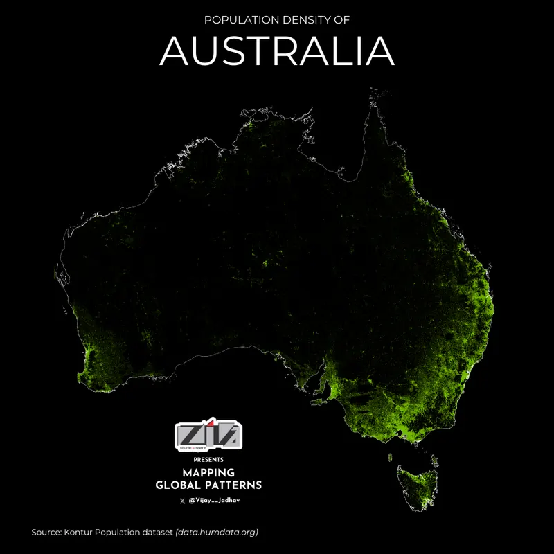
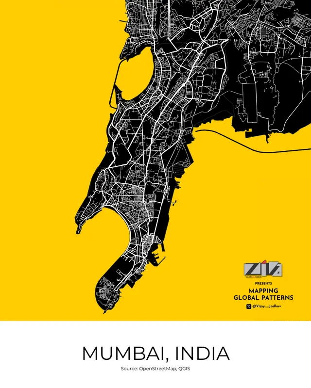
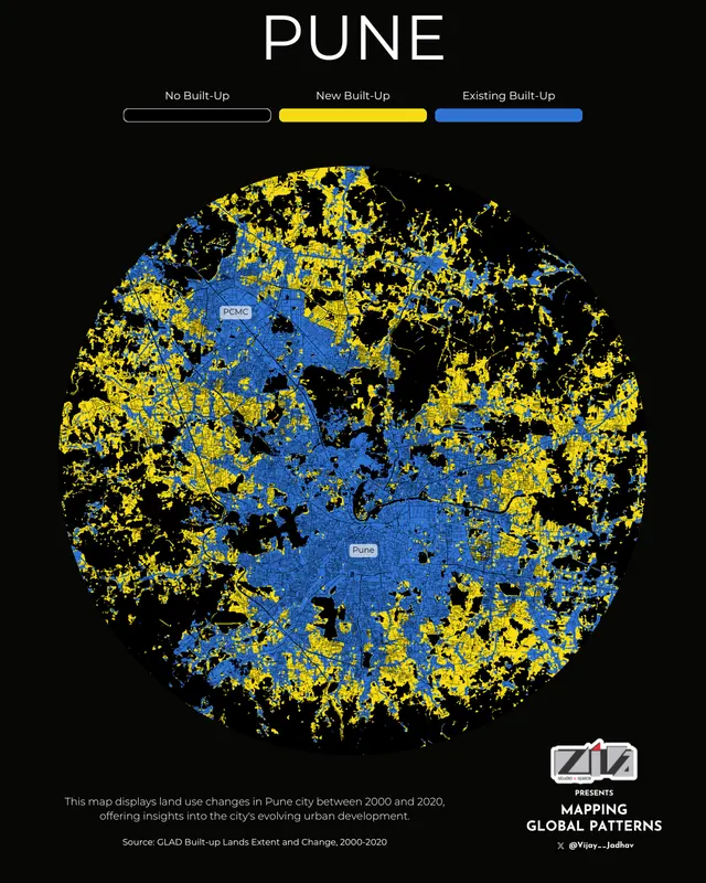
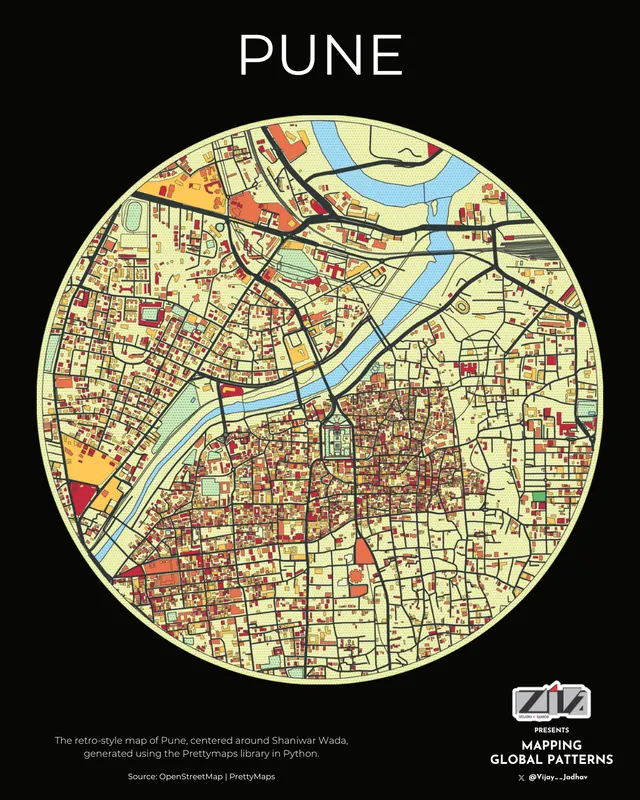
3D population density mapPopulation density of MaharashtraHealthcare centres in PuneRivers of South AmericaRiver network of North AmericaWalking times across PuneElevation joy plot of MaharashtraLand use and land cover, MaharashtraUnemployment in Europe, 2022Industrial development across MaharashtraRoad network of MaharashtraRiver network of East AsiaClean cooking fuel, MaharashtraElectricity grid of AfricaHealthcare access across PunePopulation density of AustraliaMumbaiPune land use change, 2000-2020Retro map of PuneMean maximum temperatures, 1970-2020India's export connections, 2022-23Earthquakes of magnitude 5.5+, 2000-2020
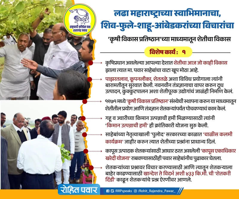
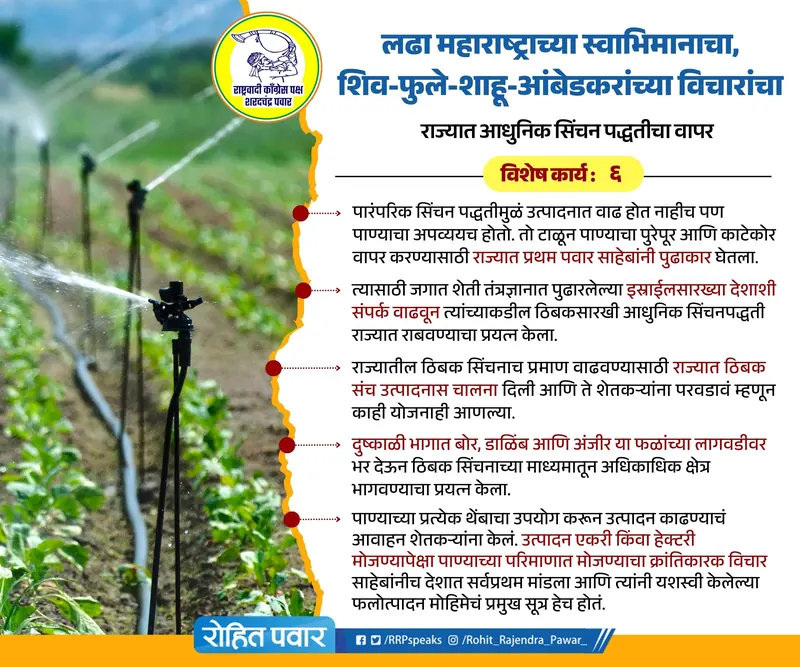
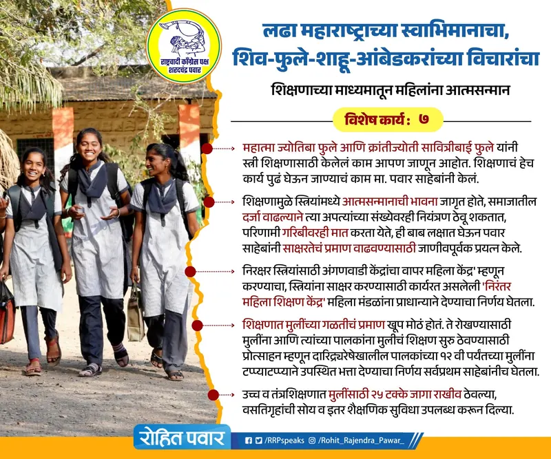
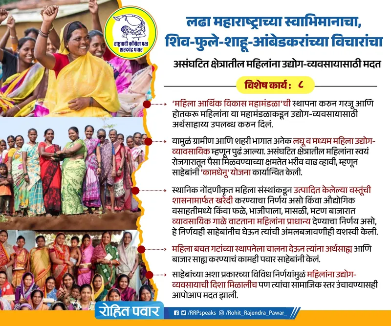
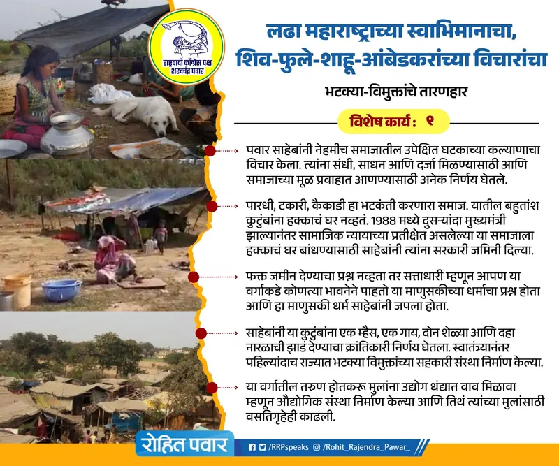
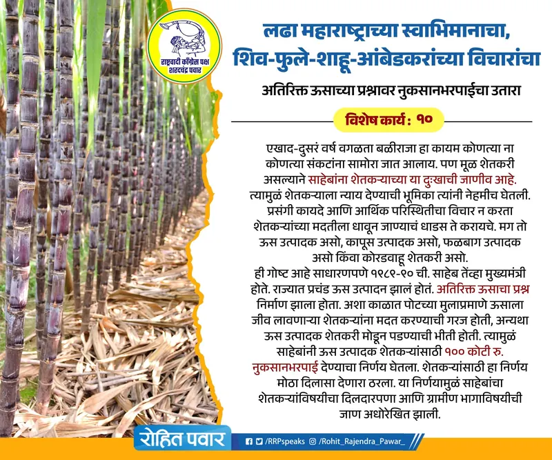
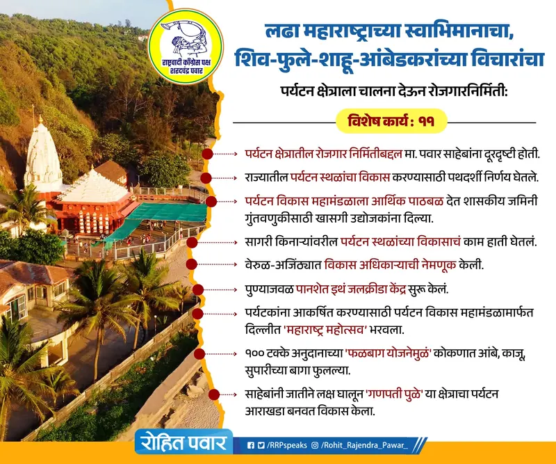
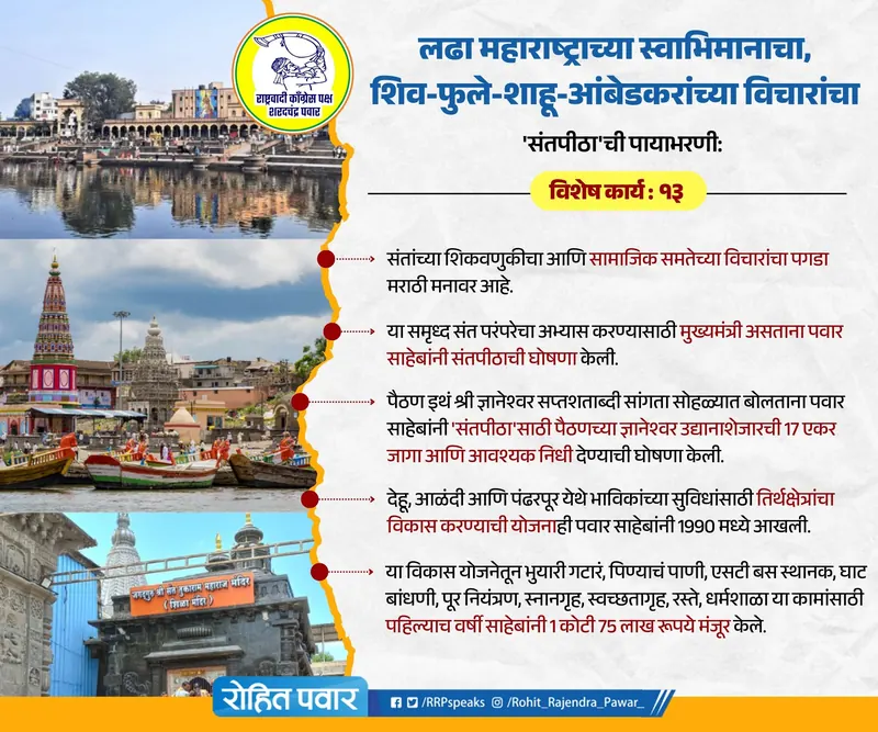
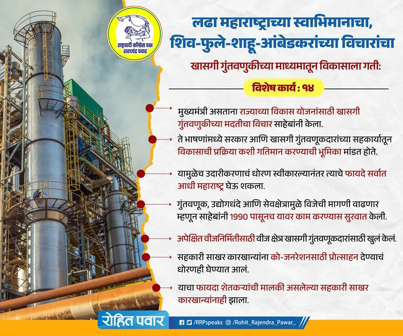
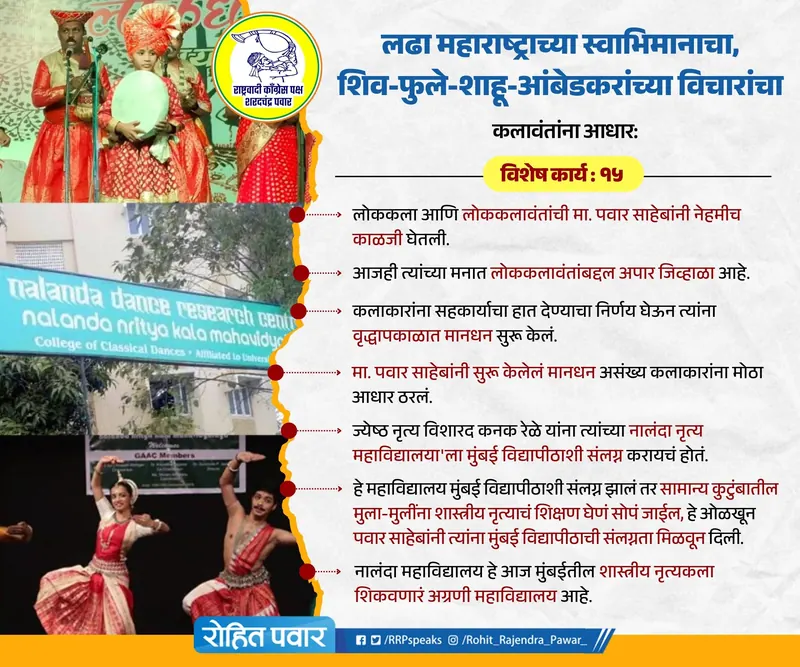
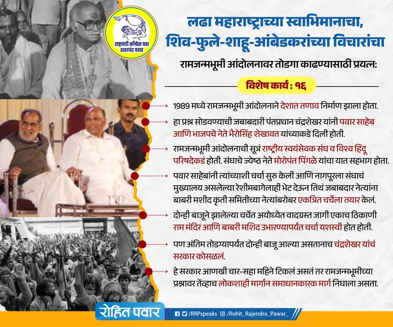
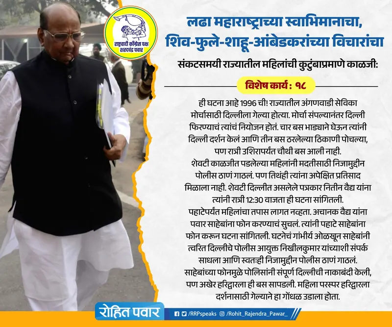
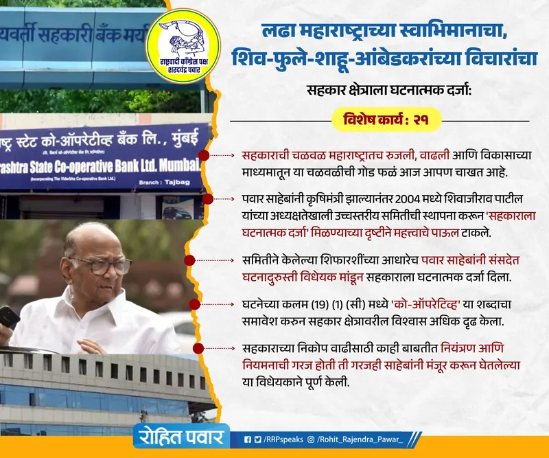
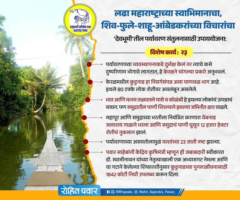
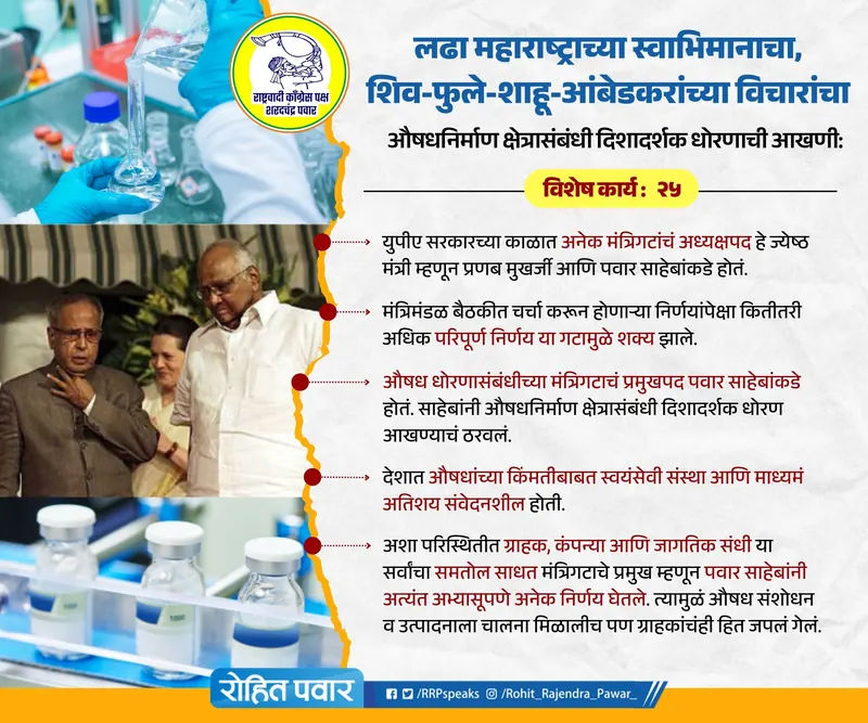
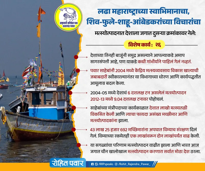
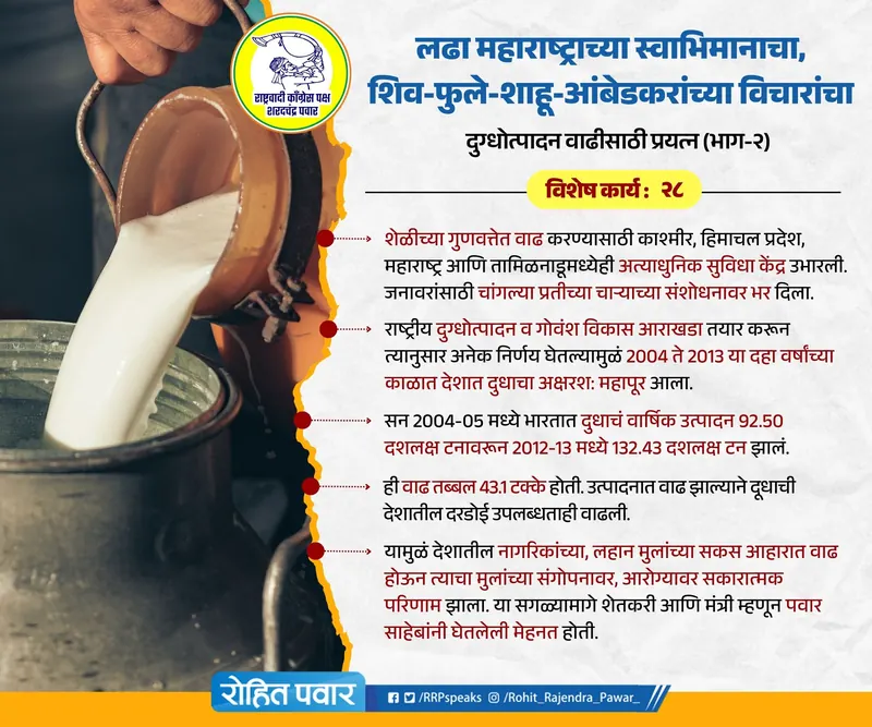
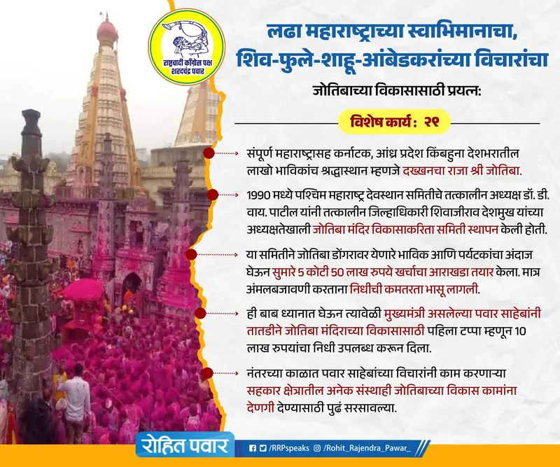
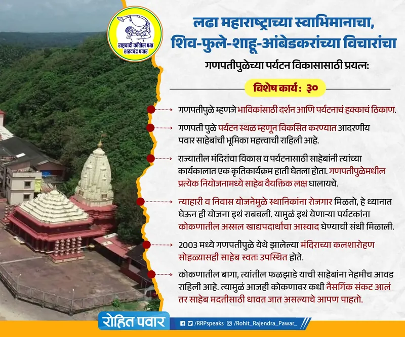
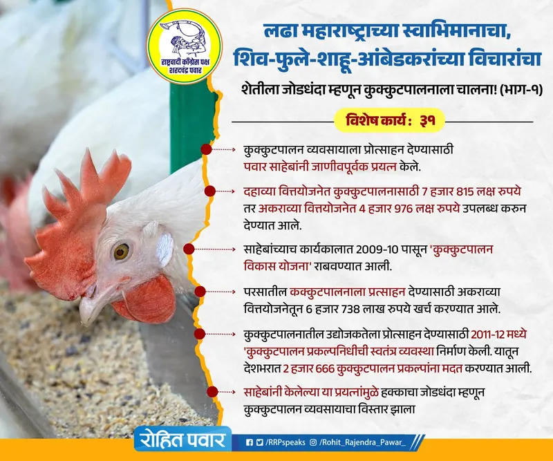
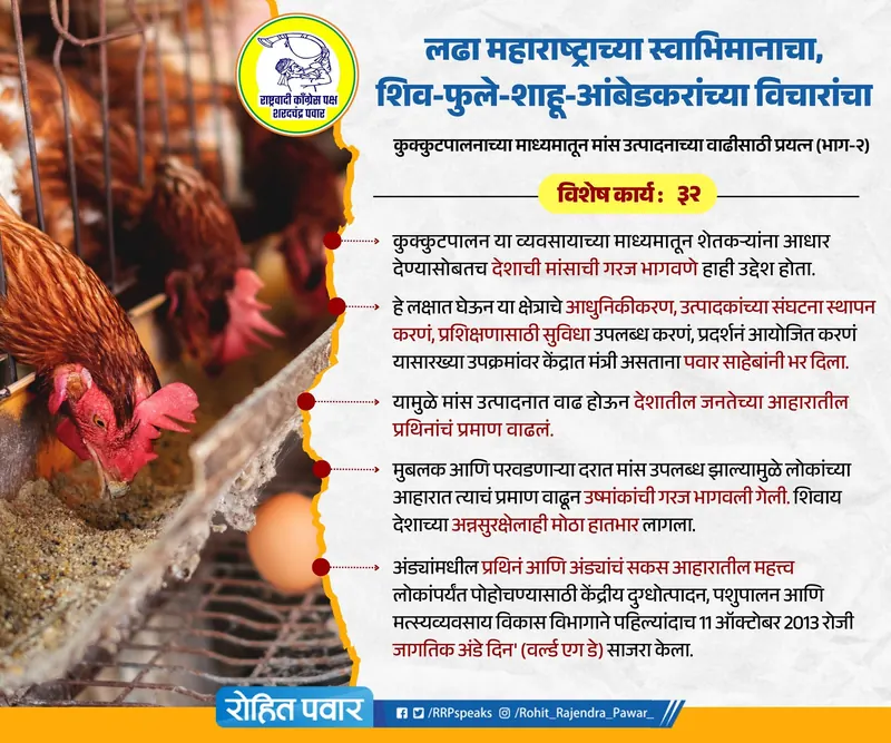
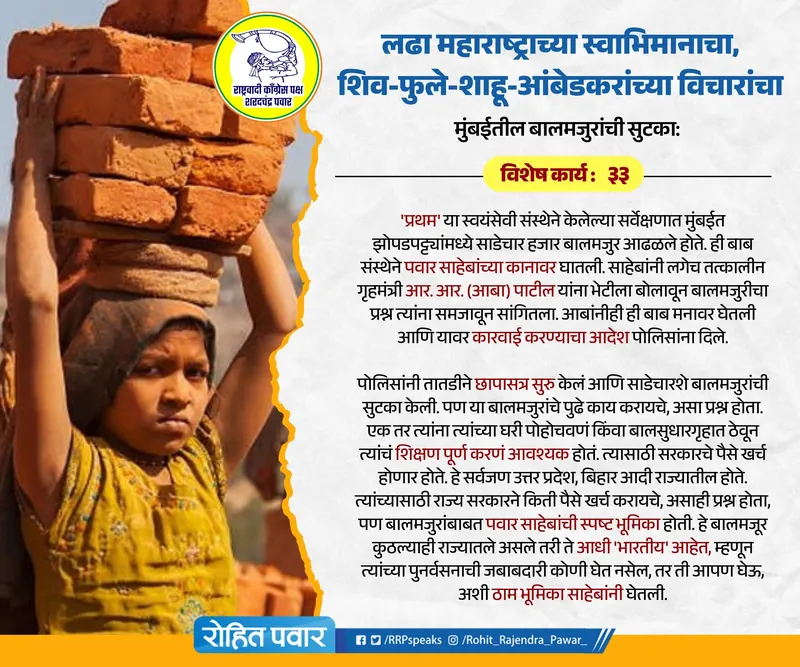
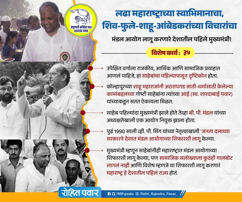
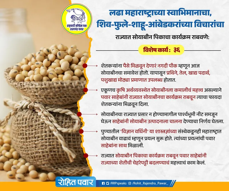
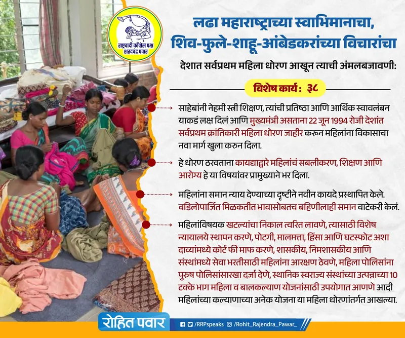
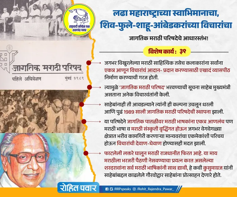
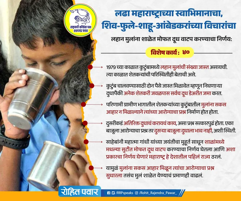
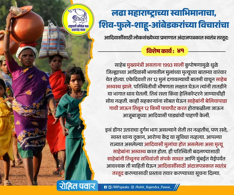
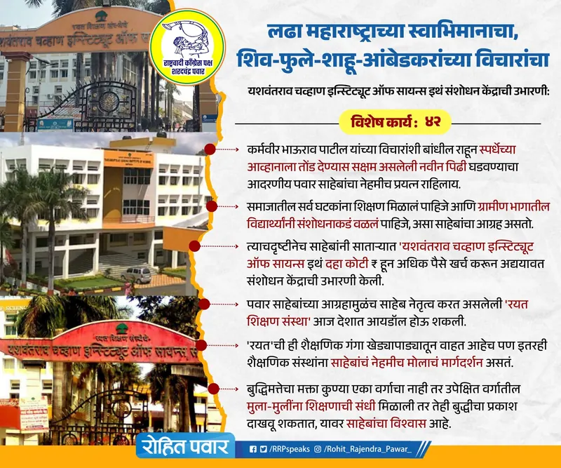
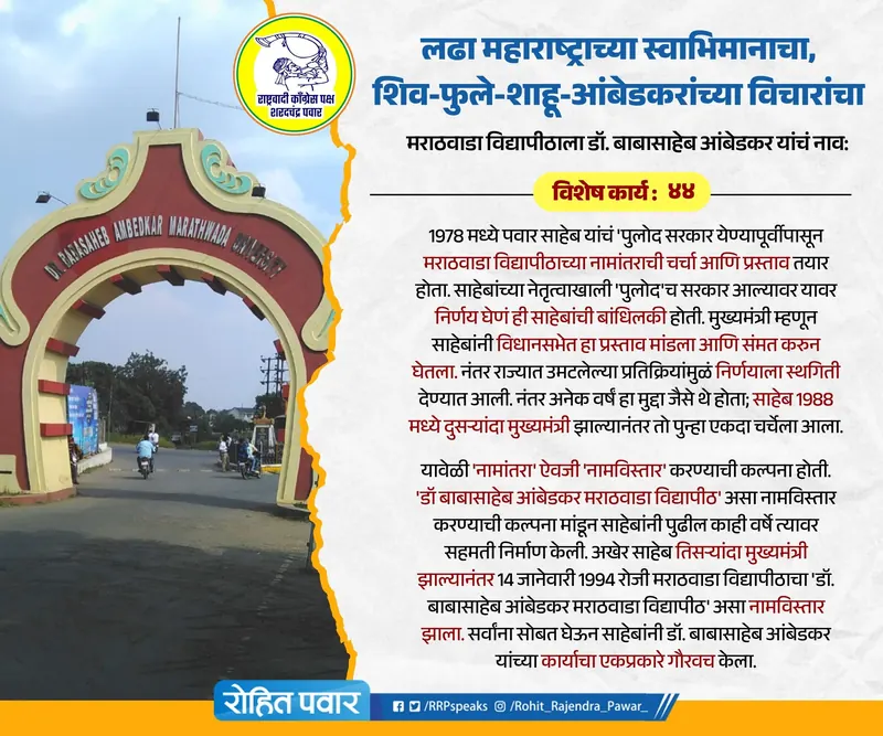
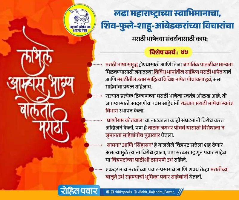
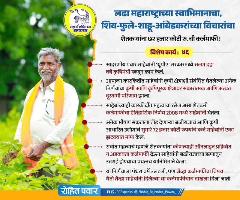
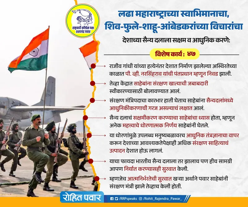
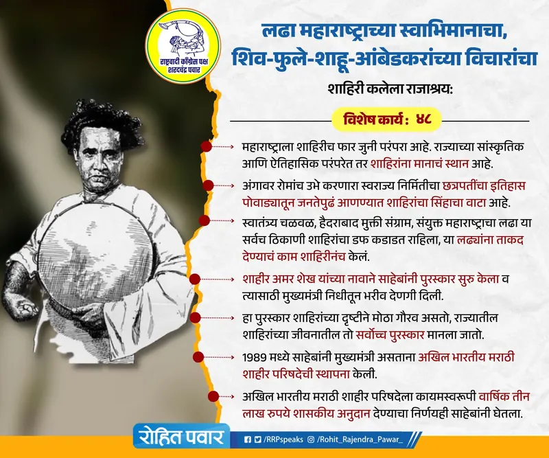
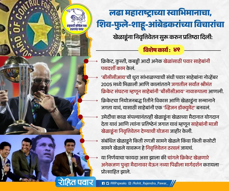
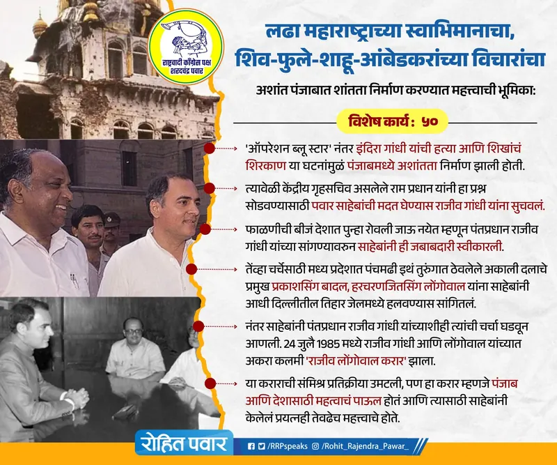
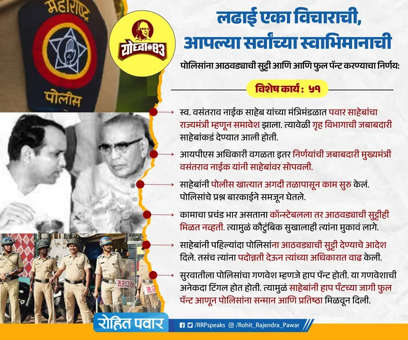
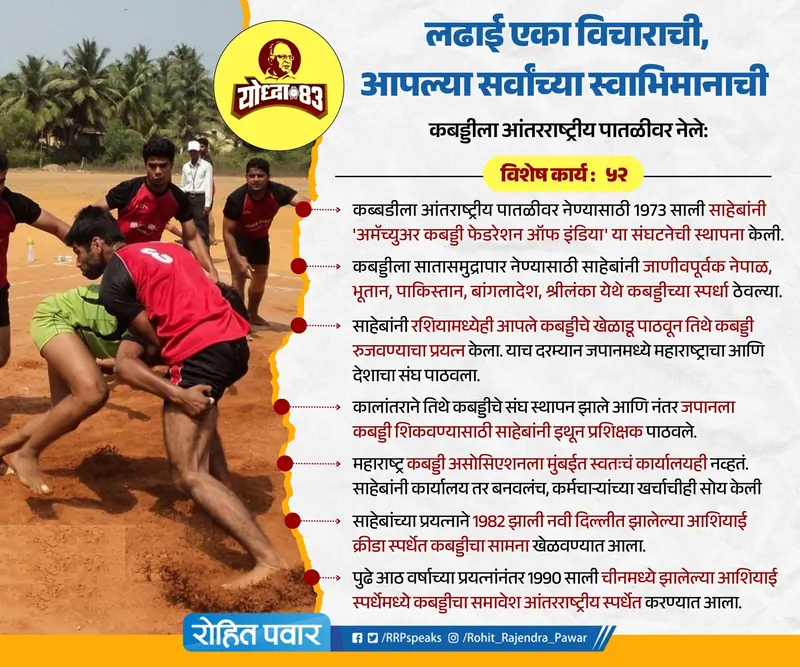
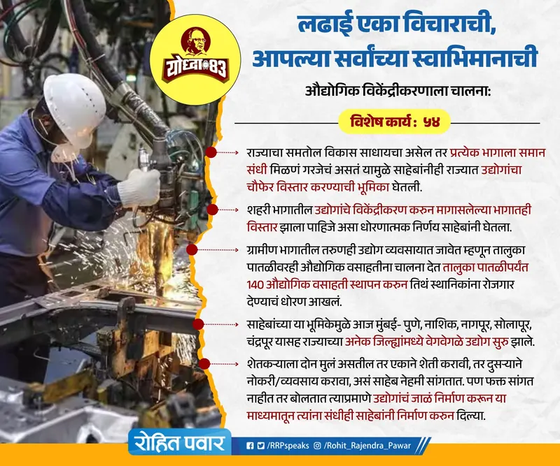
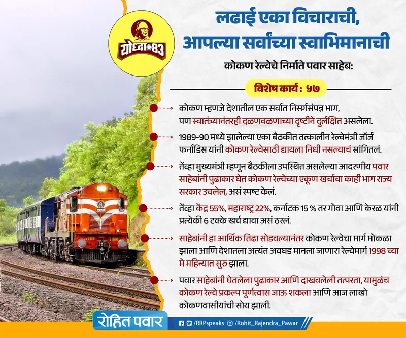
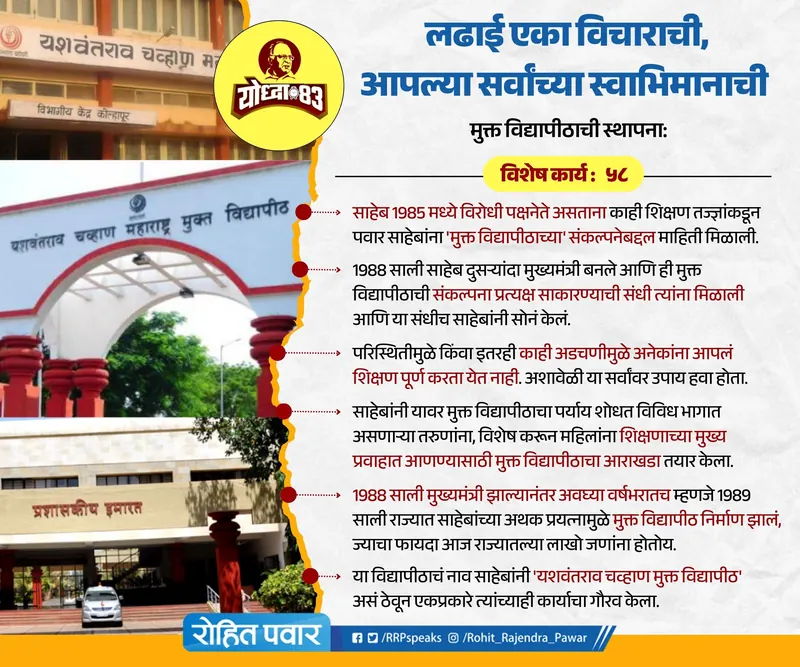
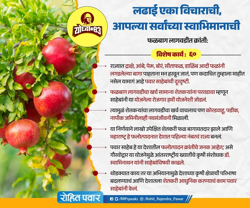
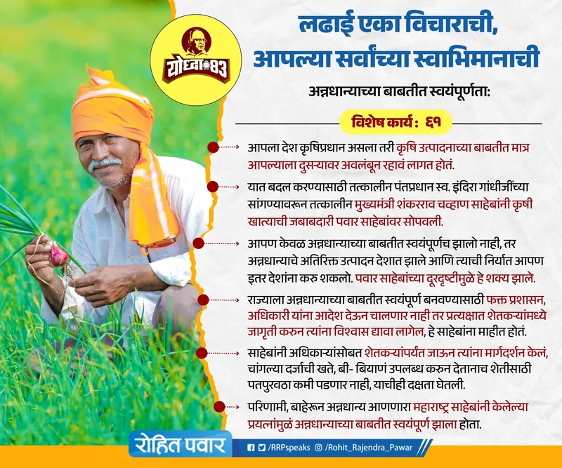
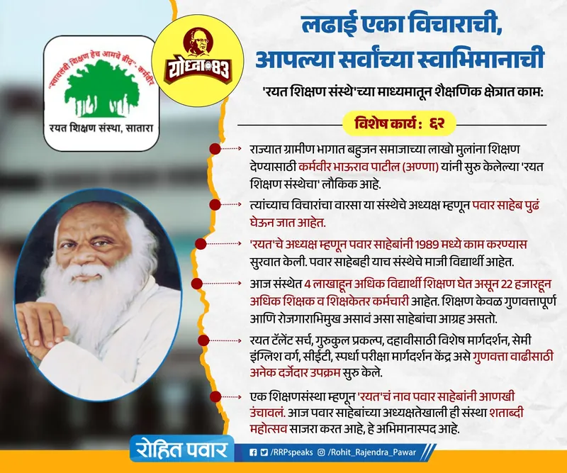
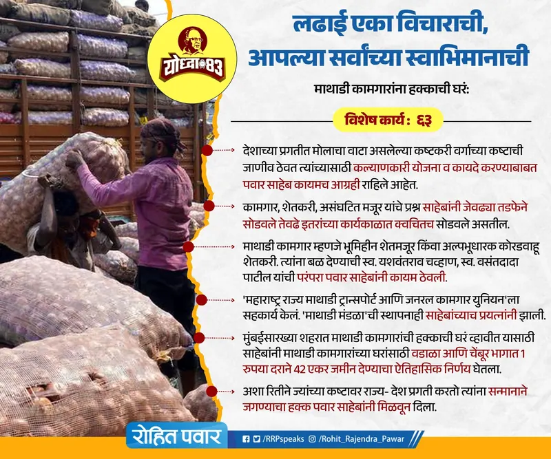
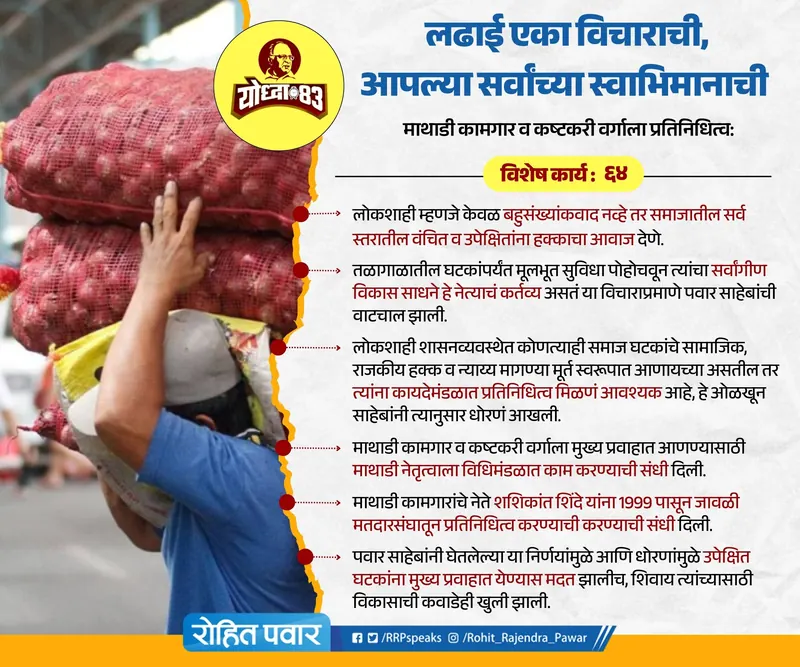
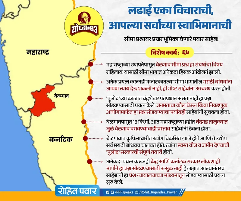
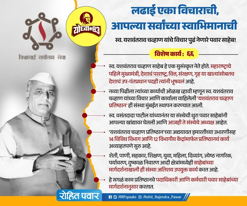
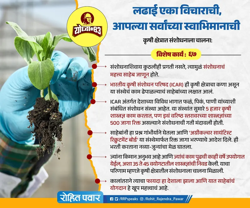
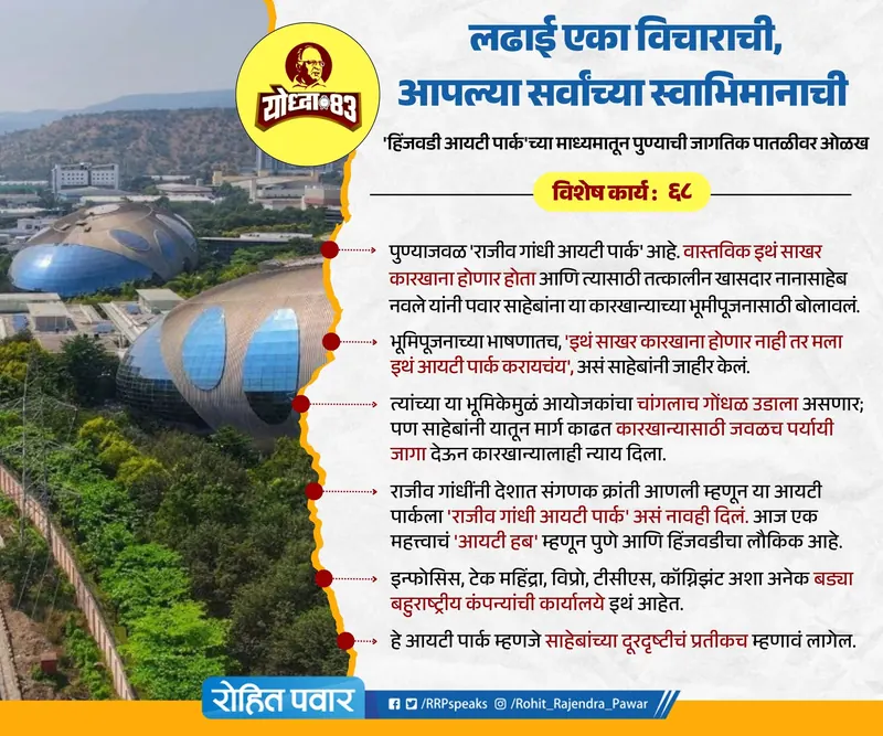
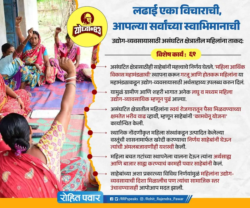
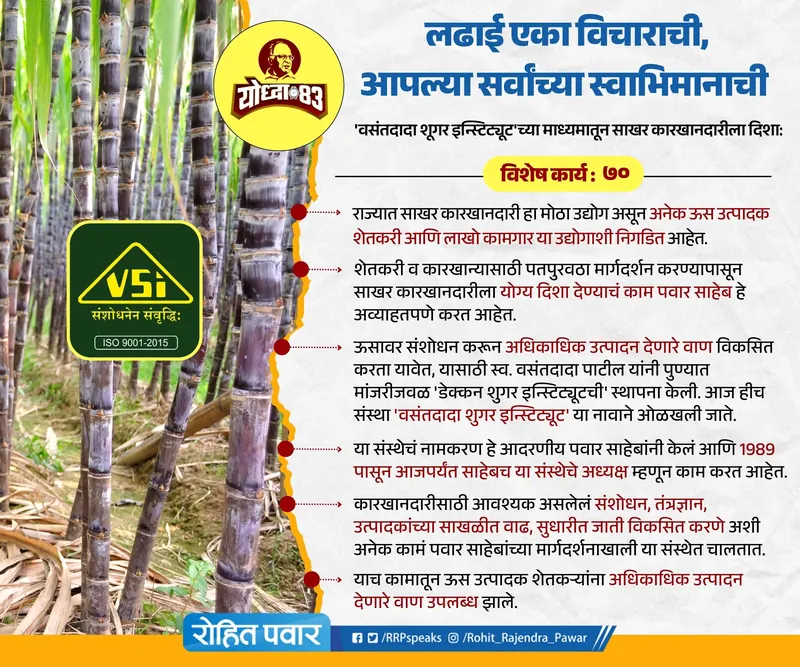
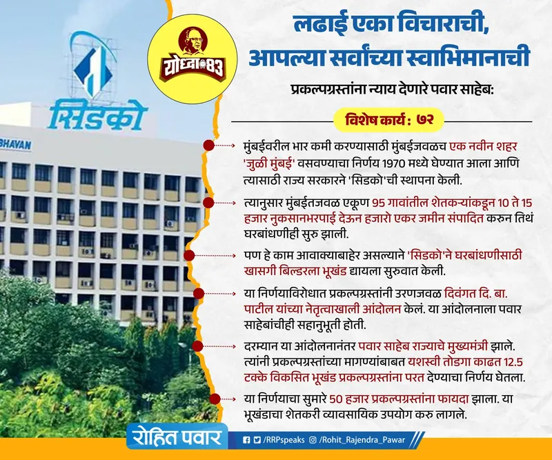
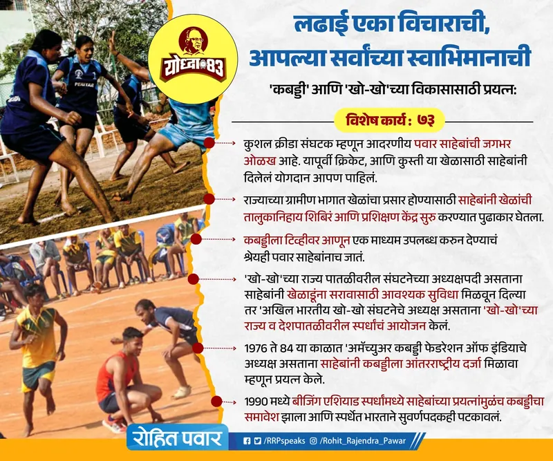
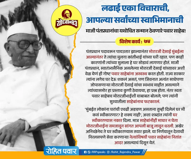
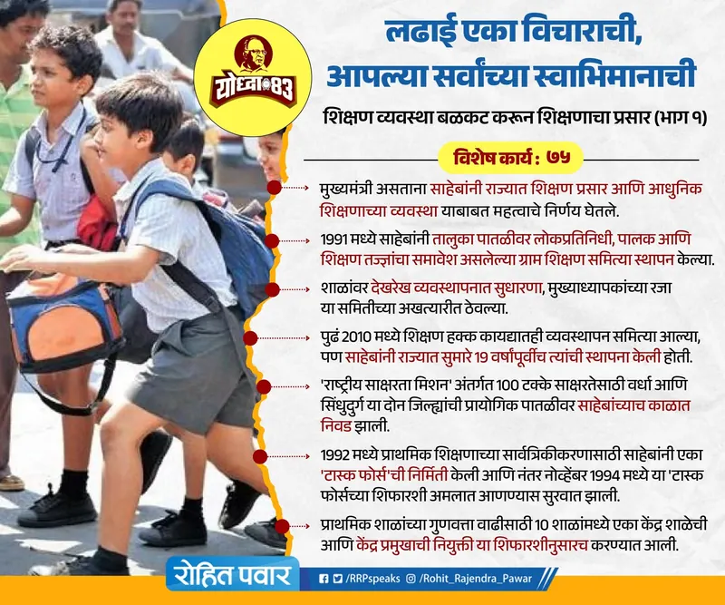
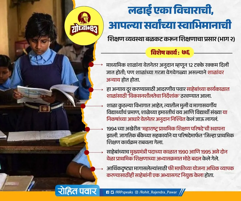
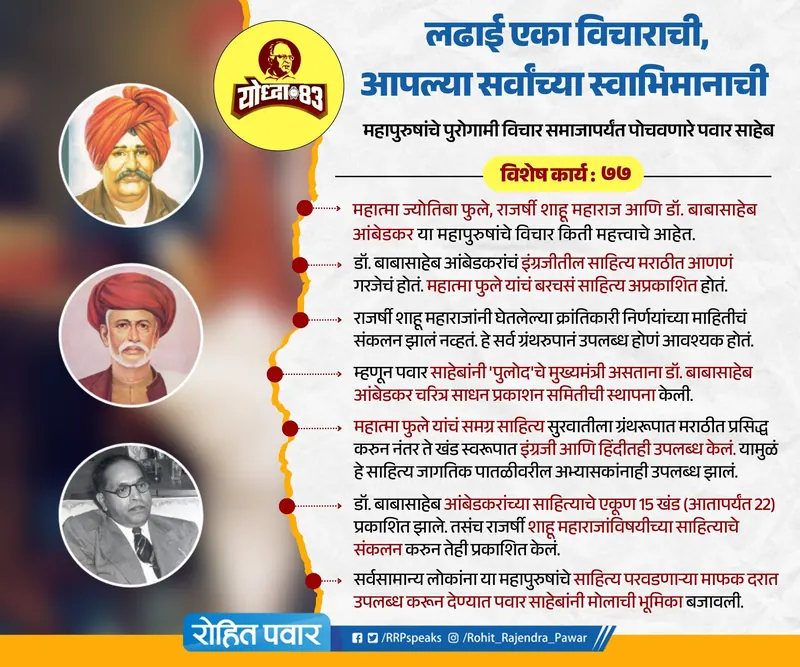
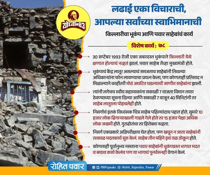
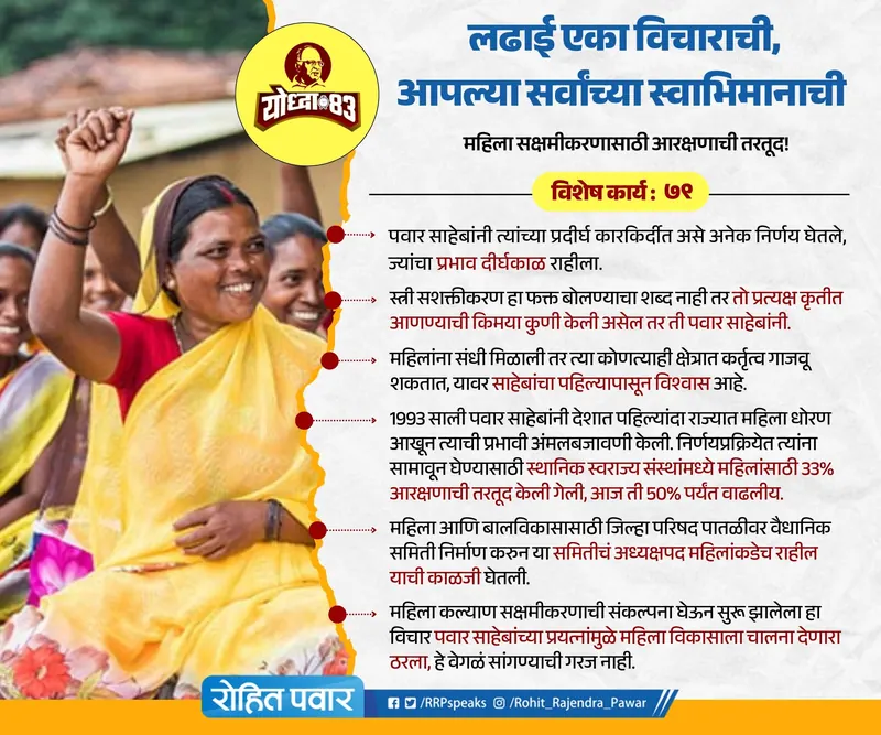
Graphics & social: Saheb Vishesh
A 79-day Marathi post series. Drag or scroll →
Client
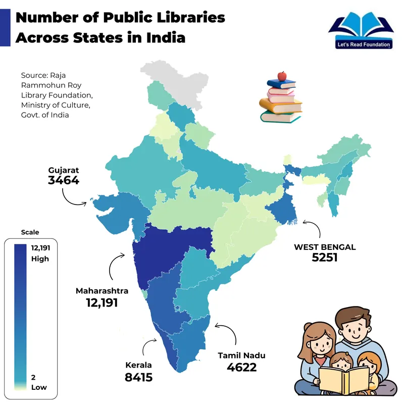
Lets Read Foundation
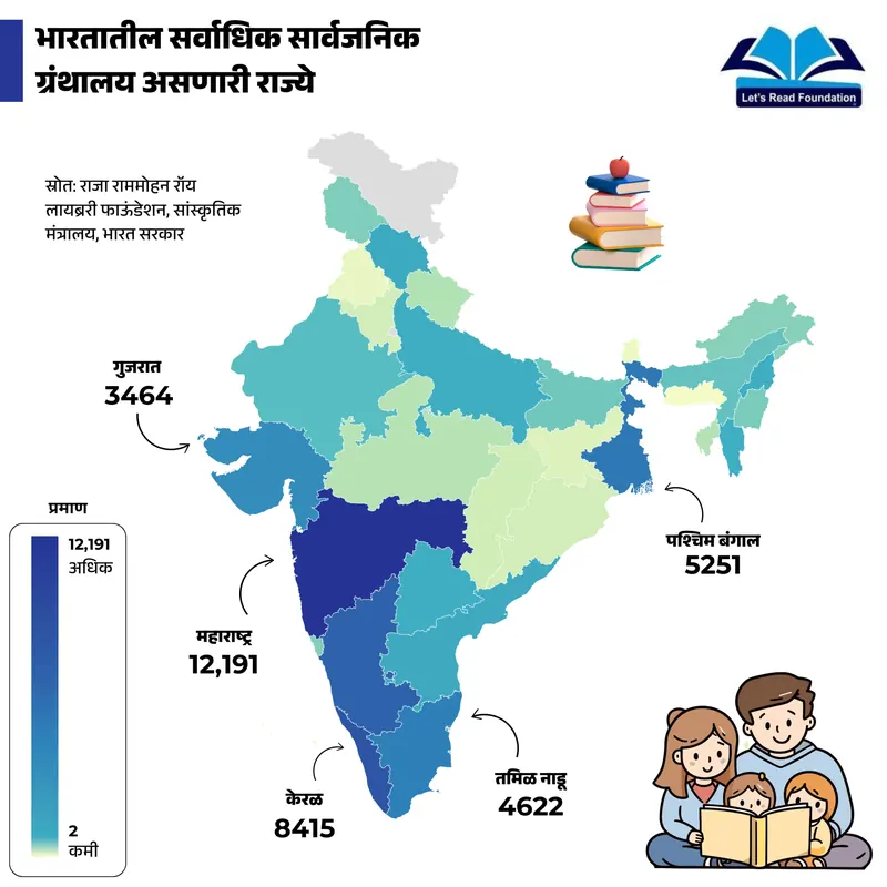
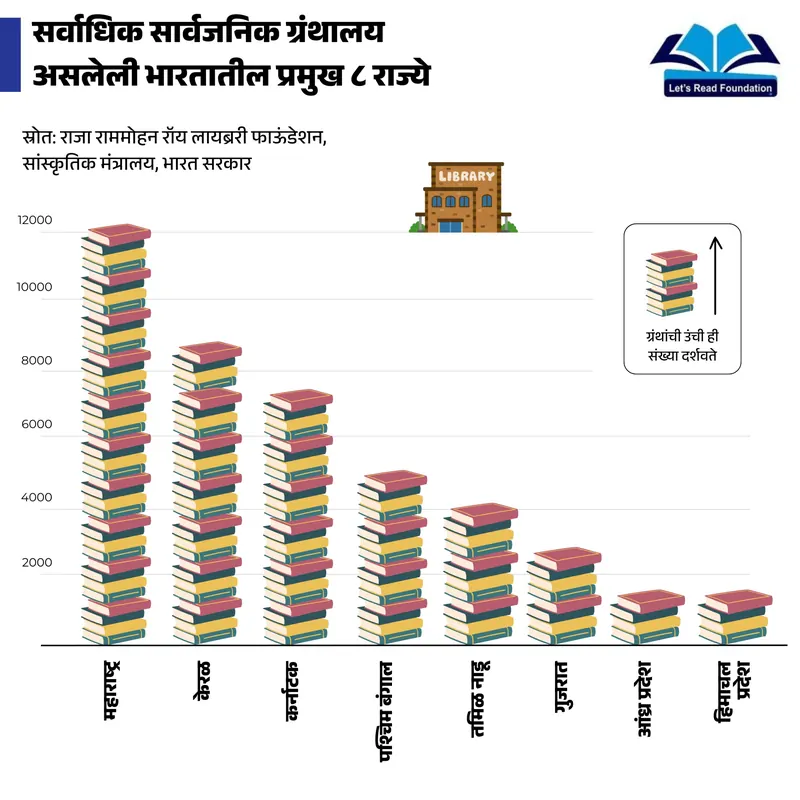
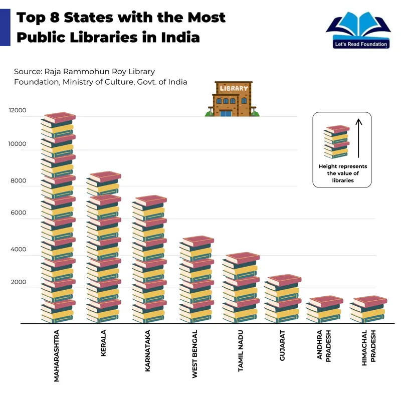
Infographics on India's public libraries, made in English and Marathi for the foundation's social channels.